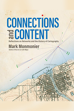
Connections and Content: Reflections on Networks and the History of Cartography
Mark Monmonier
Esri Press, December 2019

Mark Monmonier, Distinguished Professor of Geography, recently wrote Connections and Content: Reflections on Networks and the History of Cartography, published in early September by ESRI Press. In the book, he discusses networks as a potential unifying concept in creating, understanding, and using maps.
Monmonier draws from a wealth of stories and personal relationships developed over his more than five decades as a cartographer in order to help non-specialist readers understand the key historical role of networks in the historical development of cartography. He reflects on the use of trigonometry and geometry in mapmaking and the consequences that technological developments have had for cartographers, before then considering the effects of infrastructure and telecommunications networks on map production. He studies how maps have been made legible for digital technologies, which leads to a discussion about the transformational effects of the internet and the rise of digital technologies.
Over the course of his career, Monmonier has written 20 books and is best known for his monograph How to Lie with Maps, now in its third edition. He has been president of the American Cartographic Association, and served on advisory panels for the National Research Council and the U.S. Environmental Protection Agency. He was awarded a Guggenheim Fellowship in 1984, the American Geographical Society’s O.M. Miller Medal in 2001, the Pennsylvania State University’s Charles L. Hosler Alumni Scholar Medal in 2007, the German Cartographic Society’s Mercator Medal in 2009, and in 2016 was inducted into the Urban and Regional Information System Organization’s GIS Hall of Fame.
More information about Monmonier’s new book is available in ESRI Press’s book announcement and in Monmonier's interview with New Books network.
Publisher's Description
In "Connections and Content: Reflections on Networks and the History of Cartography," cartographic cogitator Mark Monmonier shares his insights about the relationships between networks and maps.
Using historical maps, he explores: triangulation networks that established the baselines to set a map’s scale; astronomical observations, ellipsoids, geodetic arcs, telegraph networks, and GPS constellations that put latitude and longitude on the map; cartographic symbols that portray a diverse range of network features; survey networks used to situate and construct canals, railways, roads, and power lines; postal and electronic networks that created and disseminated weather maps, and; topological networks that underlie modern census enumeration and satellite navigation systems.
Connecting the past to the present via maps and reflection, Monmonier continues his contribution to cartographic scholarship by exploring the network's power as a unifying concept for understanding and using maps.
Related News
School News

Dec 5, 2022
School News

Feb 17, 2022

