Featured Research
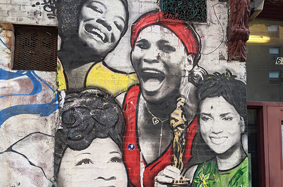
"Private Selves as Public Property: Black Women’s Self-Making in the Contemporary Moment" Jenn Jackson shows how Black women have resisted the fungibility of their bodies through processes of self-formation and self-reclamation and how that resistance might help us understand Black women’s social and political life worlds today.
Public Culture, 2020
"To Appeal and Amend: Changes to Recently Updated Flood Insurance Rate Maps" In this article, Sarah Pralle, associate professor of political science, and her co-author examine whether there are discernible trends or patterns in alterations to Flood Insurance Rate Maps.
Risk, Hazards & Crisis in Public Policy, 2021
Building Robust and Ethical Vaccination Verification Systems
Johannes Himmelreich and his co-authors propose guidelines for deploying vaccine record verification (V.R.V.) systems that align with vaccine prioritization decisions; uphold fairness and equity; and are built on trustworthy technology.
The Brookings Institution, 2021
Pralle Talks to High Country News About Floodplain Mapping, Flood Insurance
September 19, 2022
High Country News

Flood are the most common and destructive natural hazard in the country with FEMA predicting that, due to climate change, the area at risk of a 100-year flood from rivers in the U.S. will grow by approximately 45% by 2100.
Sarah Pralle, associate professor of political science, studies the politics for how floodplain maps get drawn. She says that when the National Flood Insurance Program began in 1968, it was meant to discourage people from living in flood-prone areas by making it pricier to live there, as well as to help them recover when floods do occur by providing insurance for at-risk properties. The backbone of the program, she says, is accurate, scientific mapping.
Pralle says the politicization of floodplain mapping is common. And when flood maps are challenged, it’s nearly always in the direction of making the floodplain smaller, not bigger. “It’s kind of human nature not to want to pay for something if you think you aren't going to need it,” says Pralle.
Read more in the High Country News article, "Rising rivers don’t necessarily follow the lines on a map."
Related News
Commentary

Aug 1, 2024
Commentary
Jul 31, 2024
Commentary

Jul 30, 2024
Baobao Zhang has received up to $200K to research the role of citizens in the governance of artificial intelligence systems.
Gadarian, professor of political science and senior research associate with the Campbell Institute, is the 3rd Maxwell faculty member to earn this prestigious research award in four years.
This policy brief examines the root causes of partisan polarization in order to propose effective solutions for remedying the damaged political system in the United States.
Lecture Series
Campbell's lecture series bring together people with a diverse range of perspectives and interests to open dialogue, foster understanding and give the power of knowledge.
Bantle Symposium on Business and Government Policy
Phanstiel Lecture Series on Leadership
State of Democracy Lecture Series
Tanner Lecture Series on Ethics, Citizenship and Public Responsibility


Campbell Conversation Spotlight
You probably know the name James Garfield, but how much else do you know about him, and why might he and his political times be relevant to considering today’s political landscape? Host Grant Reeher interviews C. W. Goodyear, a historian who has written a new definitive biography of him. His book is titled President Garfield: From Radical to Unifier.
December 9, 2023
Interested in partnering with us?
Pralle Talks to High Country News About Floodplain Mapping, Flood Insurance
September 19, 2022
High Country News
Flood are the most common and destructive natural hazard in the country with FEMA predicting that, due to climate change, the area at risk of a 100-year flood from rivers in the U.S. will grow by approximately 45% by 2100.
Sarah Pralle, associate professor of political science, studies the politics for how floodplain maps get drawn. She says that when the National Flood Insurance Program began in 1968, it was meant to discourage people from living in flood-prone areas by making it pricier to live there, as well as to help them recover when floods do occur by providing insurance for at-risk properties. The backbone of the program, she says, is accurate, scientific mapping.
Pralle says the politicization of floodplain mapping is common. And when flood maps are challenged, it’s nearly always in the direction of making the floodplain smaller, not bigger. “It’s kind of human nature not to want to pay for something if you think you aren't going to need it,” says Pralle.
Read more in the High Country News article, "Rising rivers don’t necessarily follow the lines on a map."
Related News
Commentary
Aug 1, 2024
Commentary
Jul 31, 2024
Commentary
Jul 30, 2024